With the ever-increasing spatial information and the need to organize it for spatial analysis, Geographic Information System (GIS) has become essential component for environmental management. It may cover a range of applications, and the need to develop efficent solutions to manage resources, planning and monitor assets.
These Geographical Information Systems can be designed for use in various ways from basic maps to intelligent decision support systems.
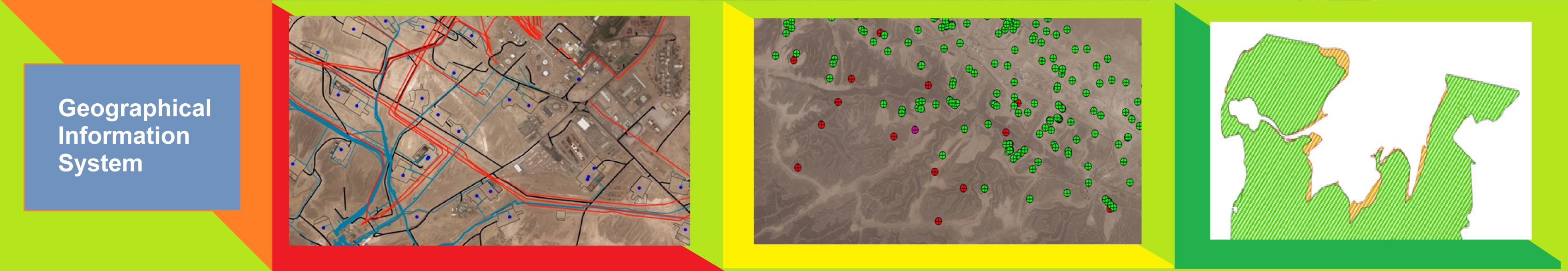
At ESCL we provide GIS services by the integration of raster, vector and statistical data collected from primary and secondary sources into a geo spatial database as thematic layers to generate various types of maps, information systems and integrated solutions.
GIS/ Mapping and Integration Solutions: We have ample experience in Date Palm/ Tree crown mapping, vegetation mapping, agriculture mapping, route planning/mapping for road network, pipelines, Electric Over Head Line, Built-up area mapping,Geomorphic feature mapping, Landuse and land cover mapping, Baseline map for Environment Impact Assesment studies, Water and sewage managment, to name few.
_______________________
© All Rights Reserved,ESCL, 2022