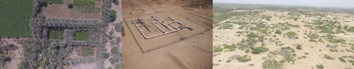
Drone provide time and cost effective topographic survey with high accuracy comparable with traditional land survey. It facilitate in environment monitoring, natural disaster managment and mitigation specially on difficult terrain and inaccessible areas.
We provide coastal area mapping, marsh ecosystem monitoring, estimate blue carbon content, tidal flat monitoring, tree canopy changes to estimate deforestation, soil land degradation, sustainable agriculture and plant phenology studies.
We also do mapping for pipeline, over head line , assets managment and integrated landscape management.
ESCL provide economical survey solution for aerial photography. We make very high resolution ortho images and precision digital elevation model.
______________________
© All Rights Reserved,ESCL, 2022